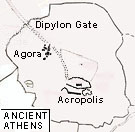
 A market place; literally a place of assembly for the citizens. The word is often referred especially to the Agora at Athens. This lay originally south west of the Acropolis but from the 6th century BC on was located at the north. This area has been extensively excavated, revealing public buildings and temples of all periods. The Roman period Agora was to its east.
Above left: Map of Ancient Athens showing the site of the Agora © Beazley Archive, Ian Hiley
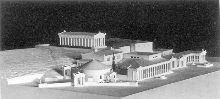
Above right: Model of west side of the Athenian Agora in the late Classical period, seen from the south. Photo. American School of Classical Studies at Athens © American School of Classical Studies at Athens


